Uncharted Updates!

WE WALKED ACROSS ENGLAND!

Here it is, the post I have procrastinated putting together because it meant the end of the walk. To steal from the song “Most Girls” – “most girls are smart and strong and beautiful. Most girls, work hard, go far, we are unstoppable” – which is just how I feel. Aside from it being a catchy song, I’m happy to be like most girls.

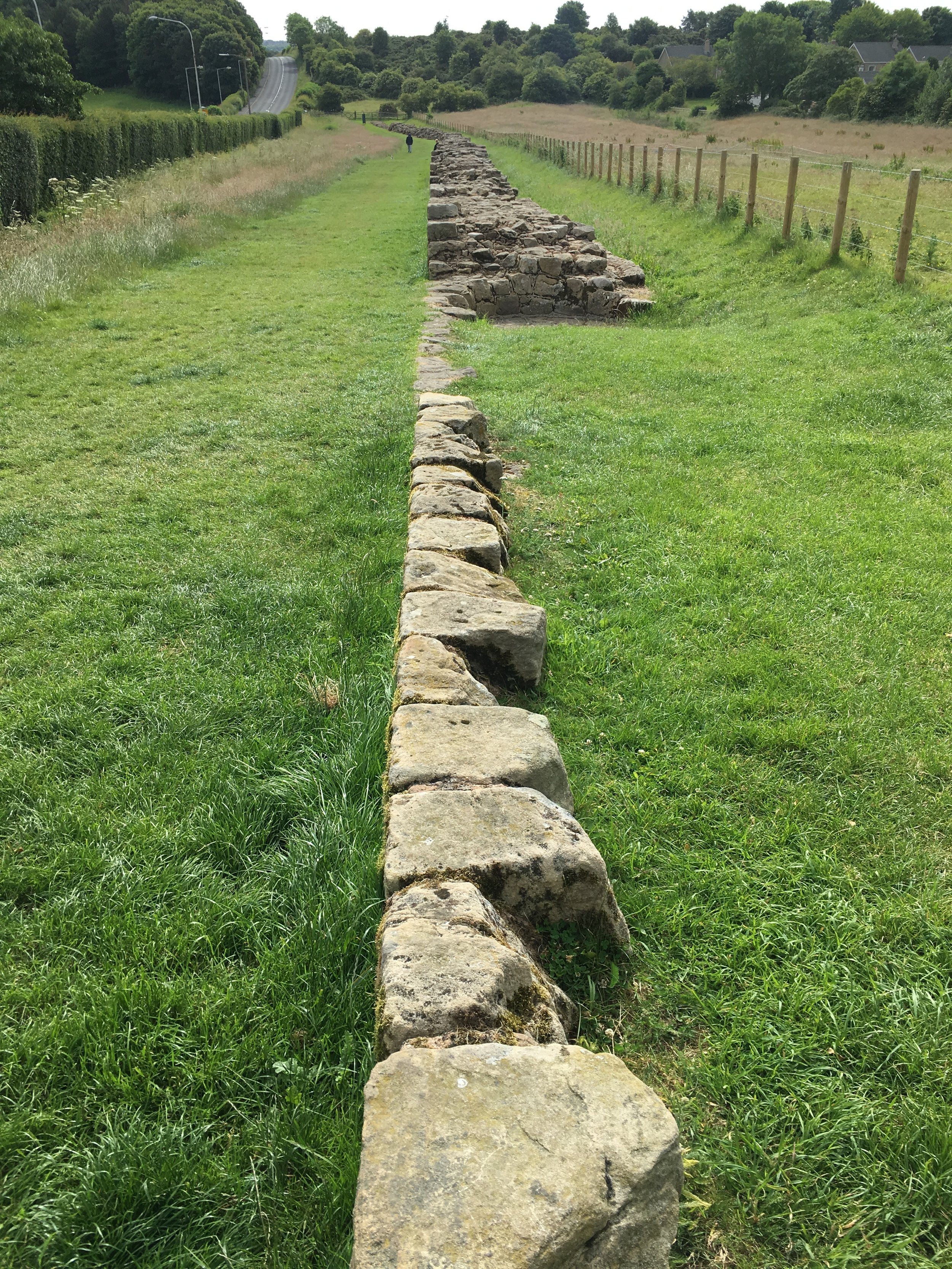
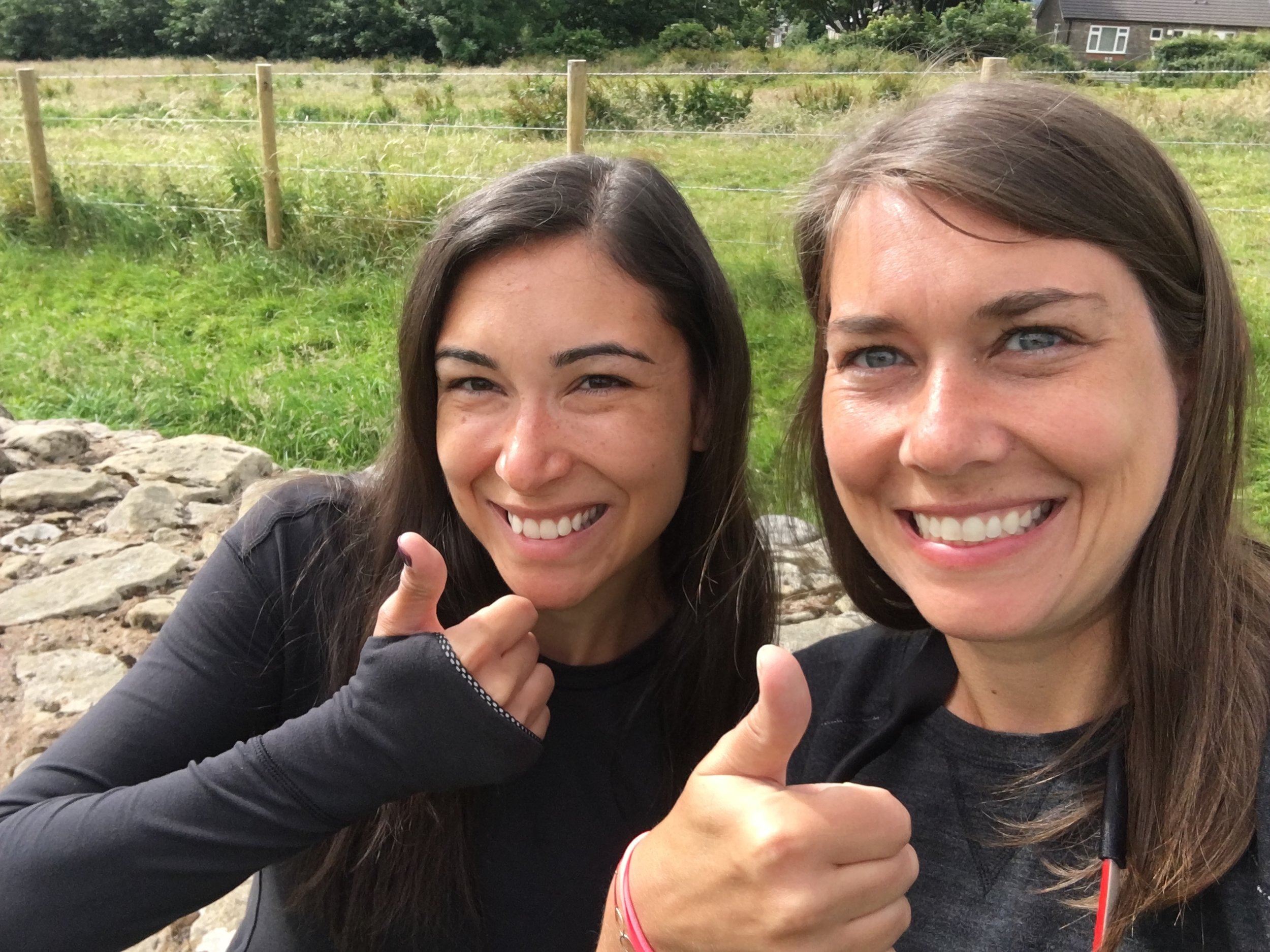
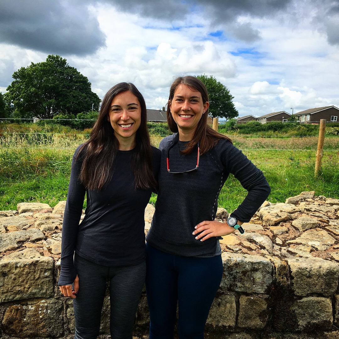
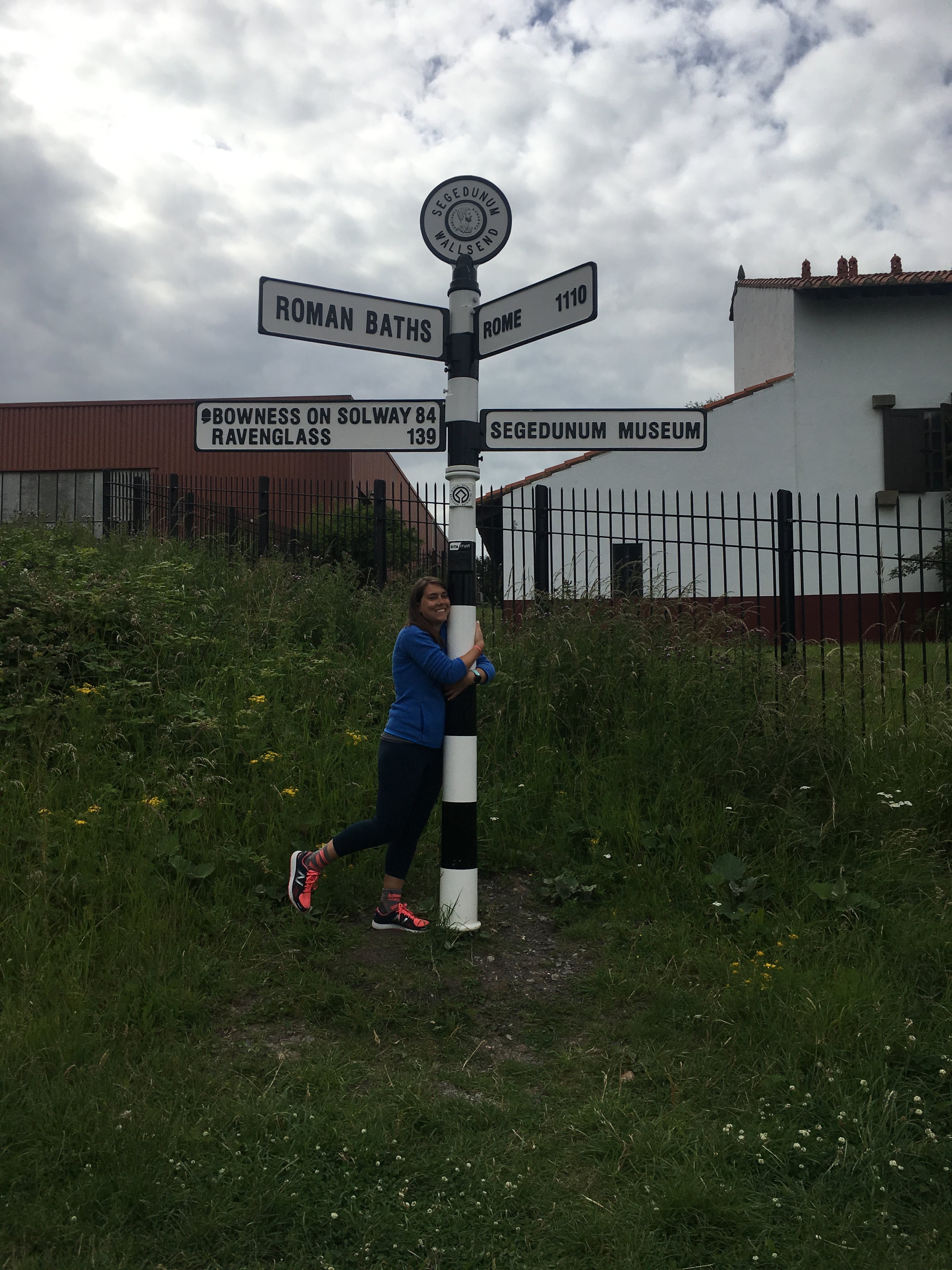
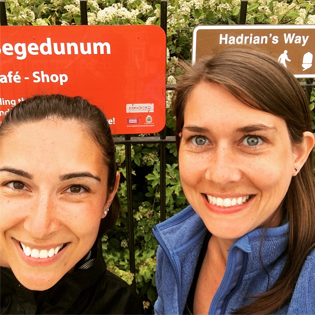
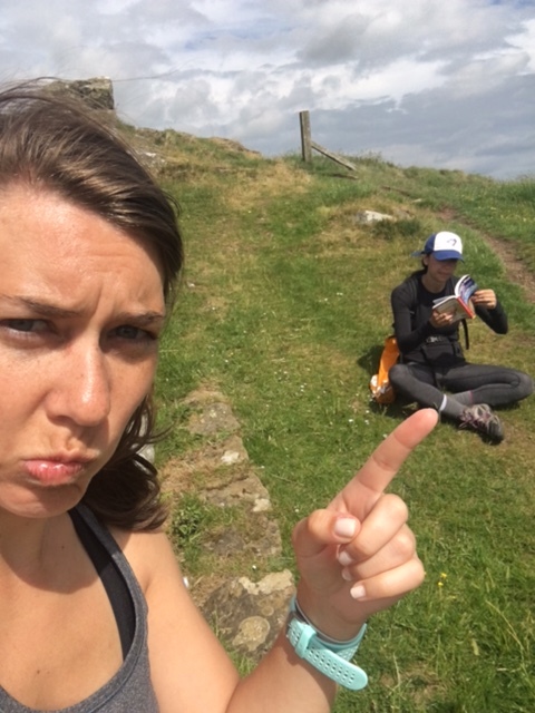
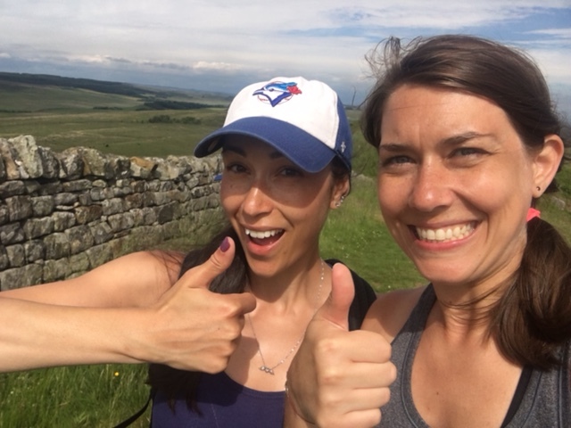
So here it is, Tara and I completed Hadrian’s trail on Monday June 26th. A 15-mile day which started in Heddon-on-the-Wall (pronounced: HEAD-ON). We went off the trail to say goodbye to the last part of Hadrian’s Wall. We took pictures, we ran into the cute couple we’ve meet at various times along the walk, we said our goodbyes and we headed towards Wallsend, 4 miles east of Newcastle. 

For the most part, the trail was a man-made path, which turned into sidewalks and roadways. I should mention, the day prior to this, Tara and I had a grand time walking from Chollerford, we even made a delightful video dancing amongst the sheep in a farmer’s field. The weather was perfect, we ate at the Robin Hood Inn, where we traded in healthy food for sticky toffee pudding and a pint. Then there came the point where we thought we’d take a slight shortcut. The trail seemed to do an unnecessary turn around someone’s yard, so we continued in a straight line instead, until the tail met up with us. Unfortunately, in order to join the path again we had a slight jump down from a rock through some bushes, where I did not land gracefully. Whether it was the weight of my daypack or the stiffness of my body due to walking, I threw out my back. Luckily, we weren’t more than 5 miles from our B&B. Never having experienced back pain like this, I was a little flummoxed. Walking was interesting, I felt like I was sticking up like a rod, but it was manageable as it kept me loose, but the moment I sat down, slept, or tried to bend in any direction, I’d seize up. It’s in this wonderful state that I finished the last day’s walk to Wallsend. About 4 miles into our last day, I started limping. The right side of my back, which bore the most pain, connected down to my right knee. With no rhyme or reason I could distinguish let alone help, my knee was in pain and I limped to the end. Tara, while surviving said jump, had her own ankle issues to contend with. But let me make this clear, we made it, with little complaint and no regrets. If I had no issues, I would have loved to continue walking for another week. And I think Tara would agree with me.

So, without further ado, here is the finale of the walking adventure:

WE WALKED ACROSS ENGLAND!

  • 110+ miles walked in total; 84 miles being Hadrian's Wall Path
  • 257,469 steps taken
  • 7 days total; 6 days of walking & 1 fun-day
  • 4 days walking with actual parts of the wall
  • 160 turrets and 79 milecastles passed
  • 2 golf courses traipsed through, 1 of which threatened to keep us inside the green
  • 3 illegally hopped fences
  • 2 road bridges crossed and a stint on walking on the M6 (5 truck horns in our honor)
  • 1 pen of angry bulls challenged and then dodged
  • 40 gates passed through or climbed over on average (daily)

WE LEARNED:

  • How to speak sheep; how to read clouds
  • The different smells of cow, sheep and horse poop (no joke!)
  • That walking holidays attract an older crowd, but are uncrowded
  • Traipsing through farms, backyards and private land is the norm. As is cattle poop-hopping
  • The locals of the North are kind, helpful and friendly
  • The top of the crags feels like the top of the world and the top of the world is a peaceful place
  • Fresh air and long walks really do ease anxiety and calm the mind
  • That small villages turn into ghost towns on Sunday's
  • Band Aids, blister protectors and gauze are worth more than gold
  • That the upside down acorn is considered right-side up by The National Trail
  • And importantly, that England does have good weather spells!

WE ATE AND DRANK:

  • 5 pints each of John Smith's + cinders, gluten free beers and Newcastle Ale
  • 4 Sticky toffee puddings each, doing our part in selection the best – Red Lion Inn
  • Consuming many English Pies, English Breakfasts and many, many great meals!

In summation, it's safe to say we had a blast; even going so far to ink our memories so they never fade. I'm looking forward to the next walking holiday. 


Clouds can talk?

Where to begin? Before I launch into the last post, there are a few days I need to catch up on. It would be wrong to hike the north of England and not mention the Brit’s favorite topic, the weather! And, also, I’d like to share with you the fuzzy friends we made along the way. So without further ado, a post on weather, flora and fuzzy sheep!

For the most part, we had spectacular weather; only one day of rain. And for me, one of the most mesmerizing sights of the trip were the expressive clouds. I’m enamored. I remember this feeling when I lived in London too. Something about English clouds, moving fast across the sky, closer to earth, taking on different shapes and sizes, it was if the clouds were communicating. Enough to make one want to lie down and try to interpret their mysterious message. Here, see for yourself.


Now for the sheepsies. Tara and I learned how to speak sheep. Field after field, we often found ourselves dodging sheep poo (which as an added skill, we can now decipher between the smell of sheep, cow and horse poo). We learned how to say: haaaayyyy and bahhyyyyeee like sheep. We learned how to roll our vowels in talking to them. And in turn they spoke back, curious as to who were we. They even serenaded us to sleep.

[Video to the right does not have visuals. Just sit back and listen to the sounds.]

Of course along our trek, we also became familiar with wild buttercups, foxgloves (purplue beauty below) and various birds. We were practical nature pros!

IMG_9001.JPG

And that’s a wrap on the nature we found along Hadrian’s Trail.

HOLY CRAG!

IMG_8629.JPG

Glazing over DAY 3 [WALTON to GILSLAND/11 Miles] - Nude Hiking Day - we resume our journey as it takes us on an uphill Crag climb. [Crag: a steep or rugged cliff face]

DAY 4: GILSLAND TO ONCE BREWED/13.2 Miles/SUNNY
DAY 5: STEEL CRAG TO NEWBOROUGH/16.6 Miles/RAIN

We started Day 4 with with our daily detour of getting a little lost. :) Hey, we came across two older gentlemen who had also missed the upside down acorn sign, signaling Hadrian's Trail Path. Oh, have I mentioned this? The National Trail's sign is an acorn, see?


That's upside down right? If anyone knows the origin of this, please let us know, we've contemplated the upside-down-ness of the acorn for days. Is this correct? Is this an English thing? Have we been drawing these wrong since childhood? All the questions.

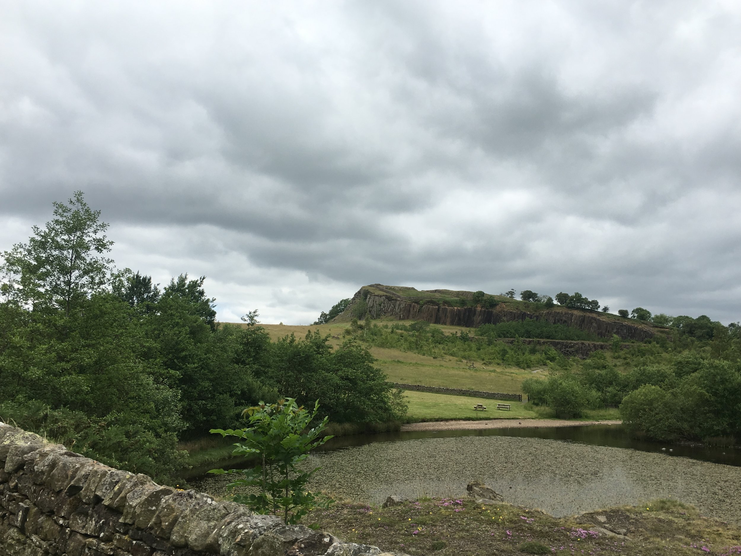
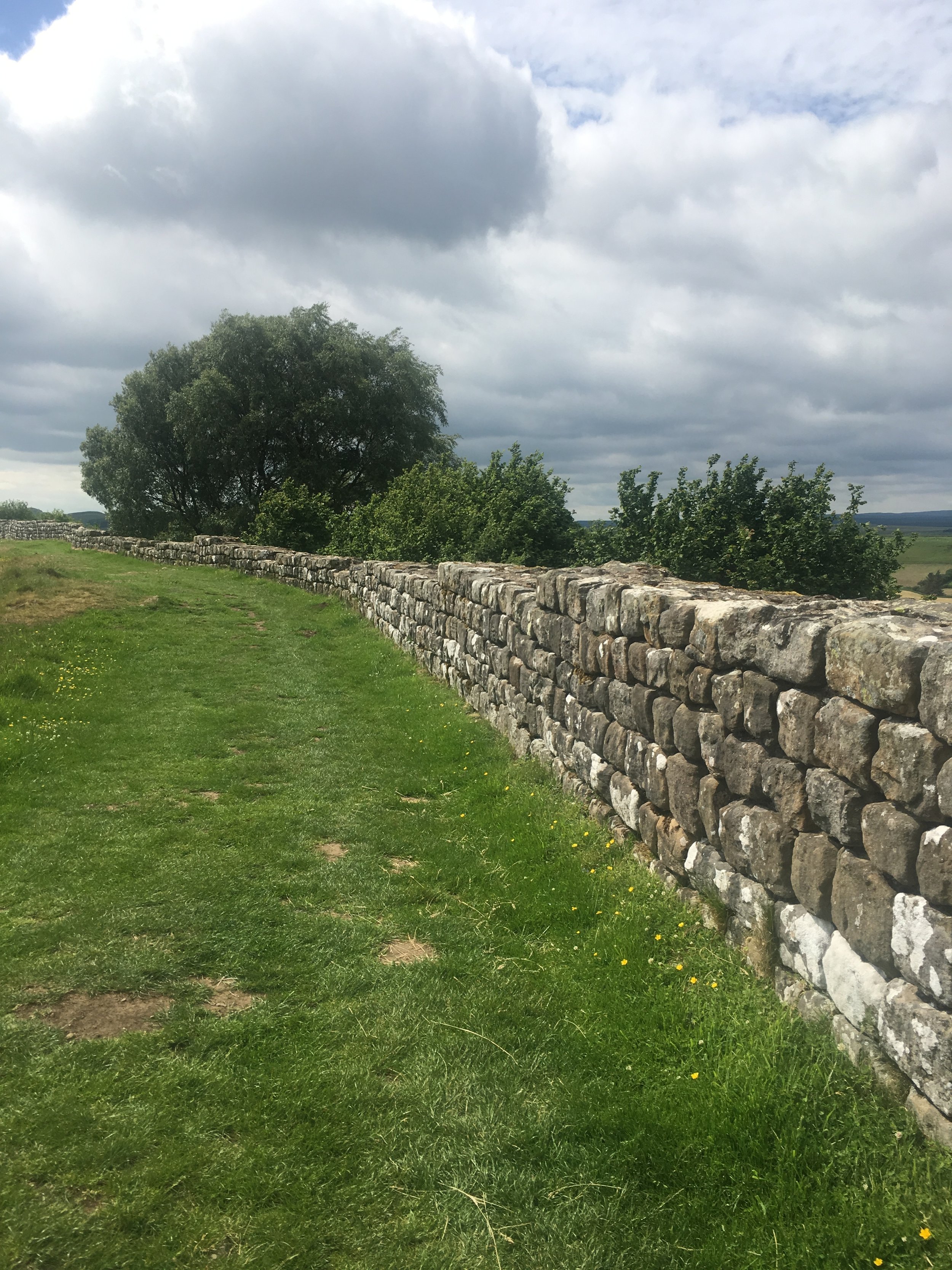
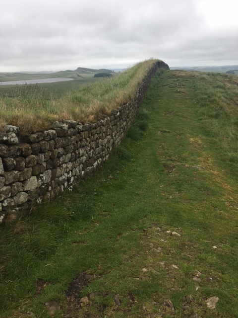
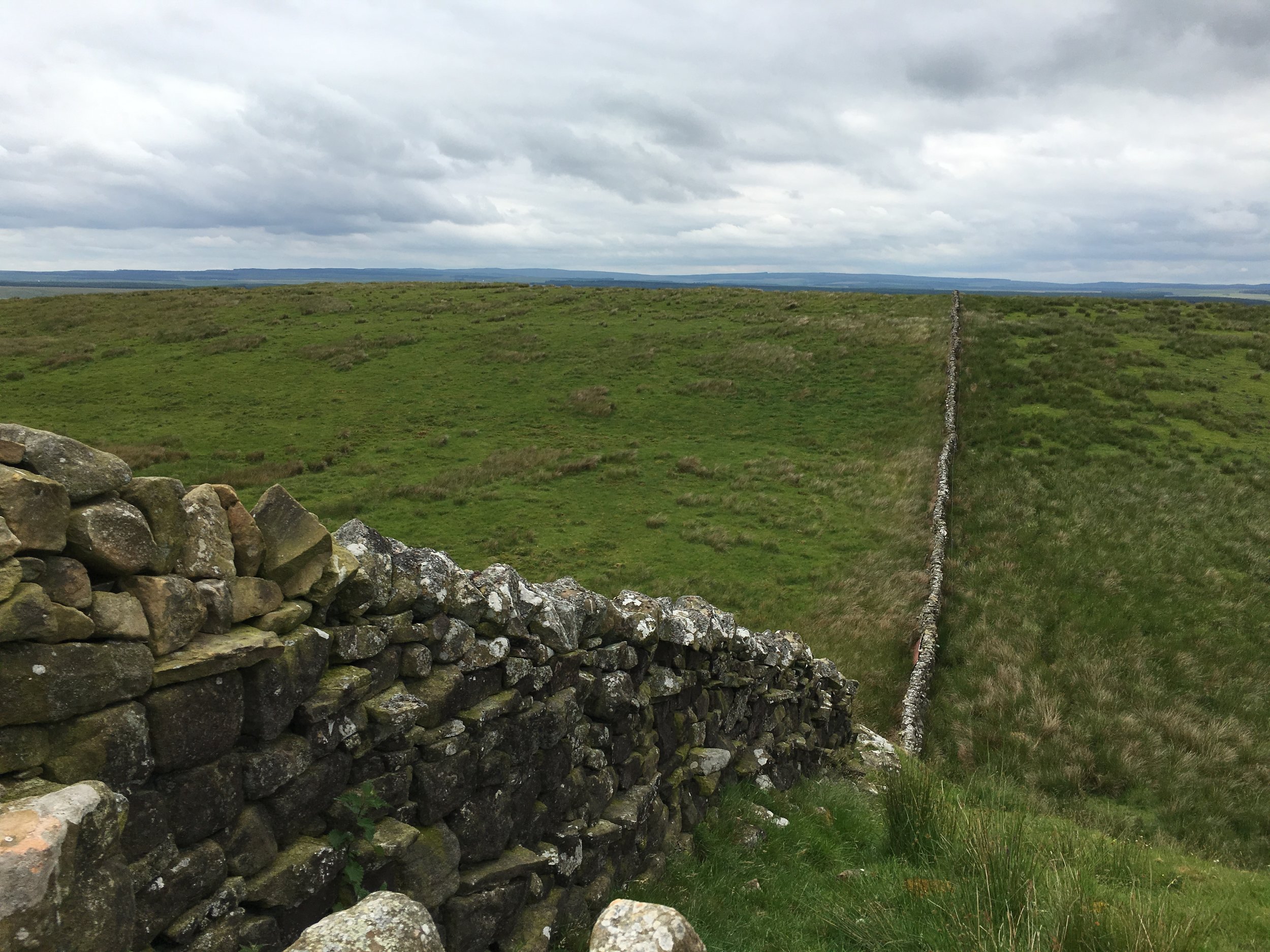
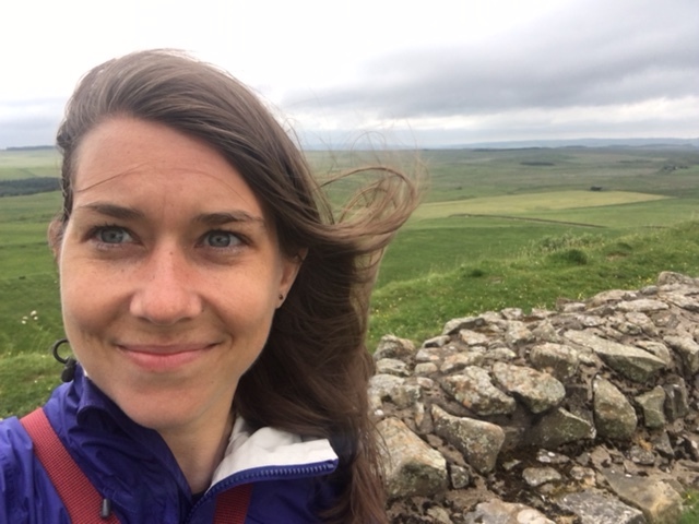
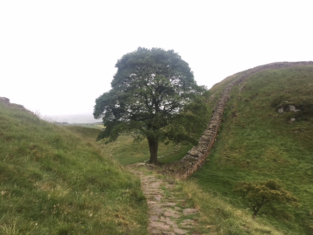
And shifting back to the story, if we had any doubts about our miles becoming harder, Walltown Crag was the moment our trek turned into hiking - steep ups and narrow downs, breathtaking views and whipping winds is the best way to sum up the past 2 days. The landscape of green pastures and farms, fields, lochs and small forests stretched on for miles. Mind you we had also passed into Northumberland National Park. We could see the crags lined-up ahead, with Hadrian's Wall atop as if a mohawk. They looked neverending. Where were the towns? Where were the people?  We met a few fellow hikers but they were few. We had the whole of the country to ourselves. And that's what it felt like. While the wind was noisy, climbing the crags was peaceful.  I'm not sure how to describe the feeling of calm, except to say, we were literally encompassed by the beauty of England drinking in the fresh cool air. We'd climb, we'd survey, we'd go back down and do it again on the next crag. Steel Rigg and the Sycamore Gap being two of my favorites parts. We were powered by the rhythmic steps moving us forward, or through the concentration of our fancy footwork going down the steep declines. Either way, we had not a care in the world but to get to where we were going and to enjoy the view. Maybe it was because the clouds seemed lower to the ground, and atop the crags we seemed closer to the sky, but in a way, the world was ours. I see why the Romans built a wall up here. I would too. Judge for yourself: 

That's A Load of Bull...

Day 2:

Yesterday, Tara and I set out for Walton taking a detour from Carlisle due to a bridge closure and river flooding. We quickly found ourselves following the Eden River on a "public footpath" and noting, on our newly purchased map, that we could follow the "public footpath" vs Hadrian's Wall Path for the next few miles before we would need to join with Hadrian again. What we didn't know was that the signage along the "public footpath" was subpar and would abruptly stop leaving us boxed in a golf course that was bordered by a river. Any yet, nobody playing golf batted an eye at us walking past. I guess they are used to footpaths cutting across public spaces and farms? We spent a good amount of time comparing maps, looking at the public footpaths and trying to find where it picked up again. Then Tara spotted a gate off the green, hidden in the tall grass and wild flowers. We were off again and it was beautiful. Eden River was to the left and wide open farm and wild space was to our right.

A few miles on, we came to a gate leading us through a farm. During the prior day's walk, we had come to realize that traipsing through farms was normal and most public pathways lead through someone else's pastures. While we had walked past countless milk cows and sheep, this field was occupied by a herd of bulls lounging near. The moment we set foot on the gate ladder the bull's heads shot up and their eyes locked ours. Tara and I, slightly unnerved, backed down and huddled together for a game plan. These bulls were not the lazy cattle of the day before. However, maybe we just needed to forge ahead and they would ignore us. After all this was a public footpath, they must be used to strangers, we thought. In the event the bulls came at us, we'd be loud and make ourselves as big as possible. It was the advice given to Tara if she ever greeted a bear and she figured this would apply well to bulls too. Armed with our plan, Tara approached the gate and the bulls, still eying us, began to protest in a low bray. Tara paused. In what seemed like a swift and agile motion, the bulls popped up and in no time were at the gate challenging us to come into their domain. They even made a point of rattling the fence in a sheer show of aggression (not even exaggerating here). And well, we had no desire to cross their turf. The bulls had made their point very clearly. But what to do? We couldn't go back the way we had come around the river.

We devised a plan B: we would hug the fence and walk to the top of the field and far away from the gate.  From there we'd hop the fence and make a dash for the clearing and highway bridge that ran over the top side of the pasture. Picture it, a huge field with bales of hay, the river as the southern boundary curving around the field, and M6 highway running atop a sliver of the field to the north. We had no choice. We walked, hopped and sprang out of sight. Looking back the bulls were still at the gate, mesmerized and holding strong in case we returned. Once we made it to the bridge overpass, we climbed up, shimmied under a broken part of the fence and emerged on the highway shoulder. We walked to the end of the bridge, garnering a lot of honks and waves from truck drivers, until we came to another smaller bridge we thought would connect us back to the detour of Hadrian's Wall. We took our chance, did another climb, another fence shimmy and found ourselves on a nice quiet road. From there the next 10 miles were a piece of cake. One could say our highway climbing was a shortcut back to Hadrian's Wall or maybe getting lost was karma from crossing the earlier mentioned closed bridge whose signs "closed for construction" we disregarded. :)

[Carlisle to Walton: 16.4 miles [with our personal adventure adding some steps to our day]


Hike Day 1: Bowness-on-Solway (Bonus-on-soul-way) to Carlisle

It's 10:19PM and the daylight is just starting to fade, while my thinking capabilities went to mush hours ago, melted by the sun. The sun! The beautiful shining sun! With this in mind, here are a few choice quotes, observations and facts from our travel thus far:

FACTS:

"These boots are made for walking. And that's just what they'll do..."

"These boots are made for walking. And that's just what they'll do..."

  • Miles completed, 18 miles (29 km)
  • Wall sighted, no yet 
  • Number of farmer's fields we trapsed through, too many too count
  • Cows that starred us down, 1
  • Sheeps we wanted to hug, so many
  • And the people we've met, the friendliest
     

QUOTES:

  • "Today is the hottest day June day on record in England!" (reference 32C and 89F)
     
  • PUB MAN: where are you from?
  • TORI: The States 
  • TARA: Canada
  • PUB MAN: Well, it's all the same to me. I know it's probably not the same to you. (Awkward pause) Are they friendly where you are from? I was down in London and asked a man on the bus, "You okay? and he looked at me liked i was crazy! We're friendly around here. They are so unfriendly in London." 

OBSERVATIONS/QUESTIONS THAT POPPED UP WHILE WALKING: 

  • Who does all the livestock belong too? The cows and sheep seem to roam freely without a farmhouse in sight. 
  • Why do some people walk slowly?
  • Why is the National Trail sign an upside down acorn? 
  • Where are we?
  • Looking at the photo of us on the right, if you squint, you can see Scotland in the distance
Who you looing at?

Who you looing at?

Ready, Set, Plan, Pack and...

For the Brits and all their walking holidays, this route was actually harder to plan than either Tara or I anticipated. I scoured the bookstore, we scoured the internet and still neither of us could find much information on Hadrian’s Wall except for a small guide that had to be ordered off Amazon. And while the Wall is a National Trust property, a UNESCO World Heritage Site and an English Heritage Site, all the websites were subpar! I’m sorry but it’s true. Every time I visited this site half of it wouldn’t load. Most information found concentrates on the parts of the Wall that are more intact and worth visiting because there are also museums, tours, history to digest, making these sections good daytrips for visitors. However, on a whole, walking the length of the route, nada helpful!

For our part, we relied heavily on Google. First, we had to find a map of the Wall, to see where it started in the West, then followed it to the East. We used tour trip itineraries (and said Amazon book) to give us an idea of what a reasonable amount of mileage would be each day. Tara being Canadian speaks in km and I speak in miles, so small hurdle. Then nearly every itinerary we came across spoke of the route from East to West forcing us to interpret and reverse the route and mileage for the opposite direction. (As a reminder, we are walking West to East). A little more Googling to figure out which parts of the Wall had attractions and where we should allow extra time to explore. We also garnered a vague idea of which sections the walk turns more into a hike and a harder trail. From there we mapped out our route. 7-days of hiking, taking one day off to explore a part of the wall that has a lot to see and do nearby Ancient Roman Forts, towers and museums.

Pack.jpg

And with the route booked we moved on to the next question, where does one sleep? While I’d love to camp, there was no way either of us was going to lug camping gear to England, so we decided that B&Bs were our best option. Or rather, due to the limited options we had, B&Bs seemed like the way to enhance our English walking holiday. One thing we had to keep in mind was that if a B&B was a few miles from the wall, that was a few extra walking miles for the day. Through a combination of sources, we located B&Bs and booked, running into no-vacancies in a few towns. While we were planning this trip a little last minute, some towns, like my favorite, named Onced Brewed, had limited sleeping options. Small wrench, we reshuffled our route accordingly. Honestly, I can’t wait to see how many miles we traipse in the end. I’ll have my Garmin and Strave tracking each footstep…
Follow along via #unchartedtaratori 


WE'RE WALKING ACROSS ENGLAND

“Where are you going?!”
said everyone over the past few weeks.

Let me start first by saying, this is a new type of travel for both Tara & I. In one weeks time we are heading to Scotland and England to hike Hadrian’s Wall! As the Brits might say, we’re going on a walking holiday! We’ll spend some time in Edinburgh before we train to our hiking start in the West of England. From Browness-on-Solway we will walking 84 miles across England to the East, ending in Wallsend. Then training to London for a few days.

And so you may be asking yourself, what and why Hadrian’s Wall? I personally cannot pinpoint when I first heard of it. All I know is that when I was in Grad School, living in London, I had it on my list to visit, but didn’t get the chance. When I mentioned it as an option to Tara, she too had it on her list of places to see, making our plan B an easy decision.

So, Emperor Hadrian. Does his name ring any history bells? He was Roman emperor from 117 – 138 AD and the wall was begun in 122 AD. So, is it a pretty ancient wall. The wall itself marked the north-west frontier of the Roman empire for nearly 300 years, separating the Romans from the “barbarians.” Often, the wall is mistakenly thought of as marking the English/Scottish border, but that is not the case. (Hadrian’s other notable accomplishments include: rebuilding the Pantheon and constructing the Temple of Venus and Roma (as Wikipedia, a very reliable source tells me). Side note: I remember when I was in Antalya, Turkey visiting Hadrian’s Gate, a massive three arched gate, still intact, that was built in honor of his visit to Antalya. Amazing how these stone structures have survived all this time. It’s hard to comprehend how far back history goes.) But I digress, once the Wall was complete it had 80 milecastles, observation towers and 17 forts. During his rule, Hadrian left his mark on the empire and is regarded as a great emperor.

The countryside is supposed to be beautiful and I’m looking forward to seeing what parts of the original wall are intact for us to explore. But mainly I'm really excited to say, WE'RE WALKING ACROSS ENGLAND! A fact, which only dawned on me after we planned the route. Fittingly I'd say too, it will be nearly 16 years to the day, since I cycled across the United States, and now i'm setting out to walk across England! So to channel my inner Frodo, "[we're] going on an adventure!"

And so it goes...

Hi! Hello! Bonjour! Merhaba! Ahoy! Sorry for the silence! I'm here! I'm back and I have some news; some sad and some exciting!

First, as much as I resent having to change travel destinations due to the political climate and an unpredictable President (cough), Tara and I have decided to table South Korea for another year. Perhaps the Winter Olympics 2018? I was trying to ignore the voiced concerns about our travels to South Korea, trying to rationalize that no place is really safe. But the weeks immediately after I picked SK out of a hat, North Korea kept making a constant splash in the news. So owning to texts, news clips and voiced concerns from friends & family, I was convinced that maybe this wasn't the year to plan a trip to SK for the fall. Who knows what may or may not happen. And while I'm normally willing to take a risk, I could not think of much worse than having to cancel a perfectly crafted trip and end up with no travels. So to all those concerned with our safety, thank you. :)

And so the good news is we have a "Plan B." When we were searching for a good time to travel, both Tara & I realized we didn't not have a lot of overlapping free dates for a long trip. So making do with the time we had available, cross referencing that with the weather of various foreign destinations, we decided not to pick out of a hat again. I know, I know. Sometimes that is just the way things shake out. Good thing there are many years to come for spinning the globe. 

SK2.jpg

But what we have decided to do instead is pretty great. A new type of travel for the both of us. Next week, i'll give you the scoop. Expect posts on a regular basis now this trip deliberating is over. We got a destination and we got a lot to do!

196 Down To 77

Okay, so when looking at how many countries there are in the world, 77 options doesn't seem like very many. We've cut out a good chunk. But what a good chunk we have left to choose from! 

So stay tuned for Post #4, next week, we pick! 


Unchartered TaraTori

 
Countries.jpg

The Country List & Rules

When allowing fate to pick your next travel destination a few guidelines should be set.

1. No war zones

2. No countries with severe US or Canada citizen warnings (Tara is Canadian) 

3. No countries where either of us has already been (With the exception of us creating a "specialized adventure." That is to say, Tara & I met in London so UK should be out, but a "walking tour of the coast" or a visit to the islands would be considered specialized as a completely unexplored and knish take on a UK visit).

And here is where our planning hit a pothole. It's very hard to spin a globe, have your finger land on a country that doesn't fall under one of these categories. And as a friend pointed out to me, most likely when you spin a globe your hand is bound to stay the lateral line along the equator or else end up in a body of water. So with these thoughts, I gave my globe a little pat and decided the best course of action would be picking out of a hat.  

With our list of rules in mind, we put all 197 countries into a Google doc (sources list from 193-197 countries depending if they list certain debated countries - Tibet, Taiwan, Palestine et al) The U.N. only recognizes 193. In addition to the country list we added any islands we wanted to single out as most are owned by a bigger bird).  

From there we narrowed our options down. I looked up every country on the map to see where it was located, let's just say my geography in Africa and the Middle East is far better than it was a few weeks ago. And although part of me is a little ashamed I didn't know this before, I was delighted to discover a tiny country between France and Spain called Andorra! How excited this discovery made me! 

In the end, I had nixed 73 countries, which does seem like a lot. At least 25 from having already been. Tara nixed an additional 51. What can I say? We are well traveled ladies. And here is where I come to a stop. Keep reading to Post #3...

It's all about the globe...

Right in Covent Garden, off of Long Arce, is the "world's biggest and best map and travel bookshop" called Standford's. When I was living in London in 2010, I was lured into Standford's by the combined delight of two of my favorite things: travel + books. At the time Standford's kept their globes right at the front of the store by the front entrance, greeting everyone who entered with sight of the world. And it was in this moment, I met my match. The globe I fell for was of a modern design. It had a simple wooded circular base cutout with a slanted steel rod connecting the beautiful blue globe to the base that held it up. Just like pockets take a dress from good to fabulous, my love for this globe was solidified when I learned it was electric. The simple feature lit up my heart. But sadly a globe like this: modern, beautiful and bright was not cheap. And translating my measly student US dollars  into GBP was a rough lesson in the exchange rate. During my year living in London, I would visit the globe from time to time, hoping that maybe it would go on sale.

Fast forward to 2012. I was in London my first and only business trip with the Guardian. My heart was still fixed on the globe. Santa hadn't given it to me. I hadn't received it as a birthday gift. I couldn't even find a retailer in the US that sold it (maybe part of my problem). It was a European globe. I would need to bring it back from the UK. So that fall, when I was in London, I decided this was the moment. I was no longer a student and had a paying job. I deserved this beautiful globe. And so that fall, I walked into Sanford's to purchase my prize. I proudly and delicately carried it on the airplane and found a prime spot in my New York pad for it. All excited to her it light up my apartment (and heart) when I went to plug it in, I shockingly and quiet dumbly realized that my globe had a UK plug. Sad and a little downtrodden, I told this dilemma to my friend Penny. As a Brit living in the New York she had a spare UK-US adapter. Saved! I plugged it in and delighted in the glow from the world. 

Fast forward to the present. Wouldn't it be great to put this globe to use? [continue to POST #2]


November 2012: First lite up!

November 2012: First lite up!